
Satellite images show evidence of oil leak spreading from sanctioned vessel near Oman
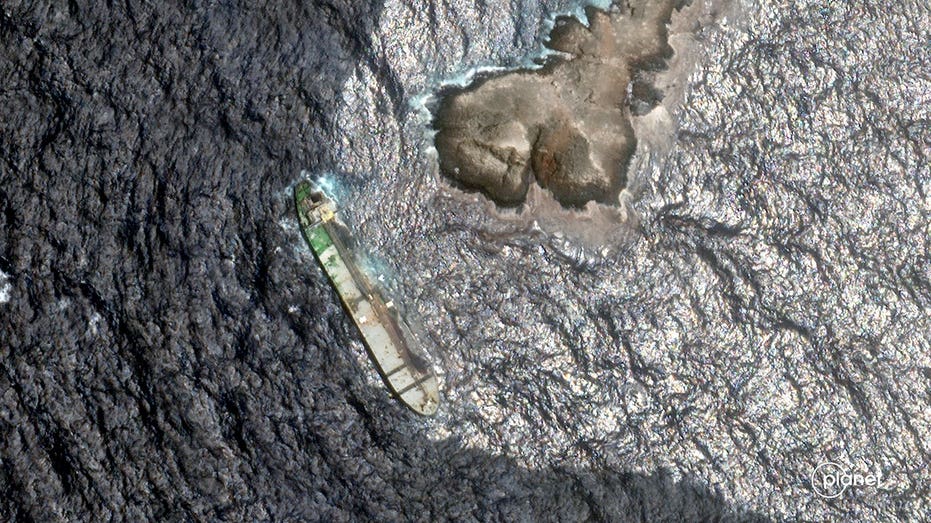
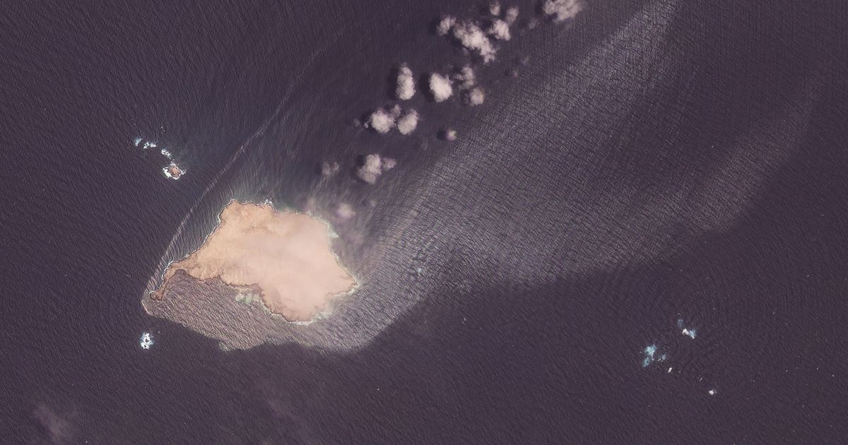
A sanctioned tanker loaded with crude is leaving a growing trail of oil in protected waters off the coast of Oman, according to newly reviewed satellite images, as experts warn the stranded vessel could break apart during the region's rough monsoon season.Satellite images reviewed by The Associated Press show an oil sheen covering roughly 20 square kilometers, or about 8 square miles, around Dhofar's Qibliyah Island, part of Oman's protected Hallaniyat Islands. Dark patches of crude have also reached the shoreline.
Reported by 2 outlets — Fox News Latest, Seattle Times. See all sources ↓
Satellite images show oil leaking from a sanctioned tanker near Oman's coast. The leak has created an oil sheen covering about 20 square kilometers around Qibliyah Island. Dark patches of oil have reached the shoreline. Experts warn the tanker could break apart during the rough monsoon season.
Why it matters
Oil spills can damage marine life and harm coastal communities that rely on fishing and tourism. Leaks from sanctioned vessels also raise questions about how well sanctions are enforced and environmental risks are managed.
- What is leaking from the tanker?
- Crude oil is leaking from the tanker.
- Where is the leak located?
- Near Oman's coast, around Qibliyah Island in the Hallaniyat Islands.
- Why are experts worried about the tanker?
- They fear the tanker could break apart during the rough monsoon season.
How outlets are framing the same story
These are the main editorial angles found across reporting. Use them to quickly compare what different outlets emphasize, omit, or question.
Fox News provides a detailed, alarm‑focused report with size estimates and expert warnings, while the Seattle Times offers a brief, factual summary of the leak.
- Coverage cardFraming signal1AngleScouting report
Size and extent of the oil sheen and shoreline impact
Sources1TypeAngleFox News LatestReports 20 km² sheen and oil reaching shore
- Coverage cardFraming signal2AngleScouting report
Risk of tanker breaking apart during monsoon
Sources1TypeAngle